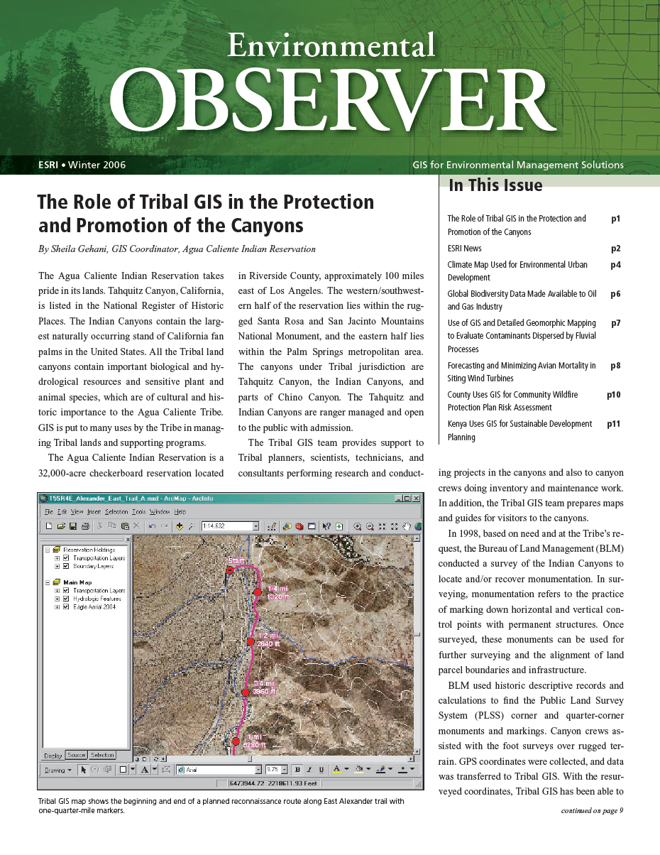
Sheila Gehani
SERVICES
Provide quality geographic information consulting services to federal, regional and local government agencies, corporations and contractors on projects ranging from the protection of the environment, emergency response, infrastructure management, jurisdiction and delineation, and resource management.
- Mapping.
- Spatial Analysis and Modeling.
- Enterprise Database Design, Implementation, and Management.
- Data Automation, Conversion, and Integration.
- GIS Solutions for the Web.
PROJECT EXPERIENCE
- Migrated spatial data into Enterprise Microsoft SQL Server and Oracle ArcSDE databases. Administered between 100 to 400 user accounts (assigned role and data privileges, administered versioning architecture, supported users to troubleshoot access issues, data corruption, etc.)
- Participated in a consortium for the acquisition of high-resolution aerial imagery.
- Research and acquisition of historic aerial imagery.
- GIS Needs Assessment for the City of Rancho Mirage.
- Worked with a civil engineer on development of a five-year Pavement Management and Sinking Fund analysis for 32 miles of HOA maintained residential roadways in Sun City, Palm Desert.
- Developed a broad-based GIS platform for facilities and financial planning for a 550 square mile Pahrump Valley Master Drainage Plan.
- GIS support on the Multiple Species Habitat Conservation Plan for the Coachella Valley Association of Governments in Palm Desert, California
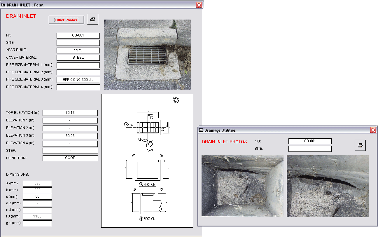
- Access database forms and applications: Real Estate Property Management, Management of SDSFIE Data Model, Utilities Infrastructure, Cultural Resource Management, etc.
- Performed post-event incident spatial data analysis and vulnerability assessment mapping for installation Public Safety and Force Protection Dept.
- GIS support for an Installation Restoration Program — survey, monitoring, and restoration of the installation’s contaminated groundwater and soil resources.
- Installation archaeological landscapes.
- Installation airfield hazards and obstructions.
- Digital migration of the Central Coast Information Center's archaeological resources for the Office of Historic Preservation, Department of Parks & Recreation, State of California.
- Optimal bus depot siting using Location-Allocation modeling.
- Classfication of multispectral imagery for crop identification.
- Digital inventory of soil survey boundaries for Southern Sierra Nevada foothills.
- Orchard crop identification, yield analysis, pest control regimes, and irrigation management tracking for a corporate farm in the Central Valley, California.
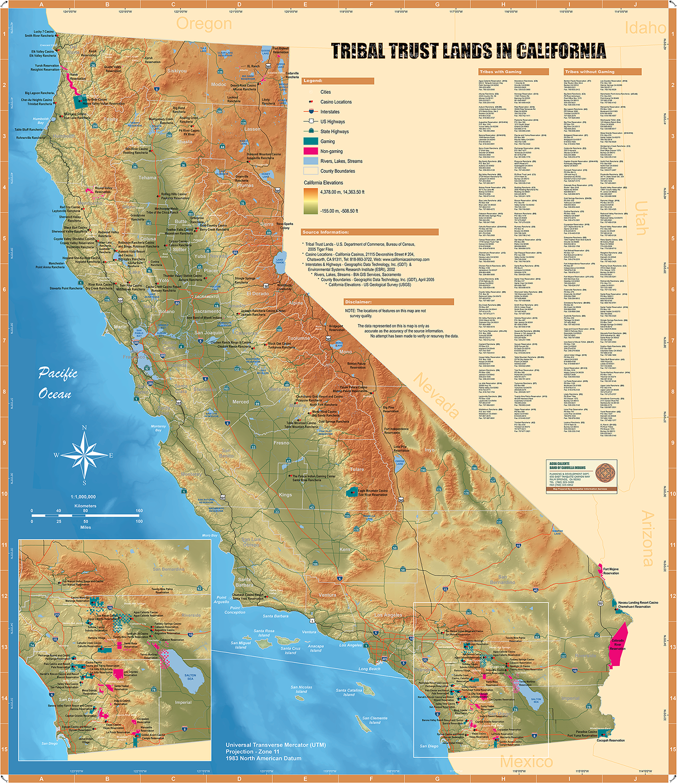
Map prepared for former California Senator Don Perata
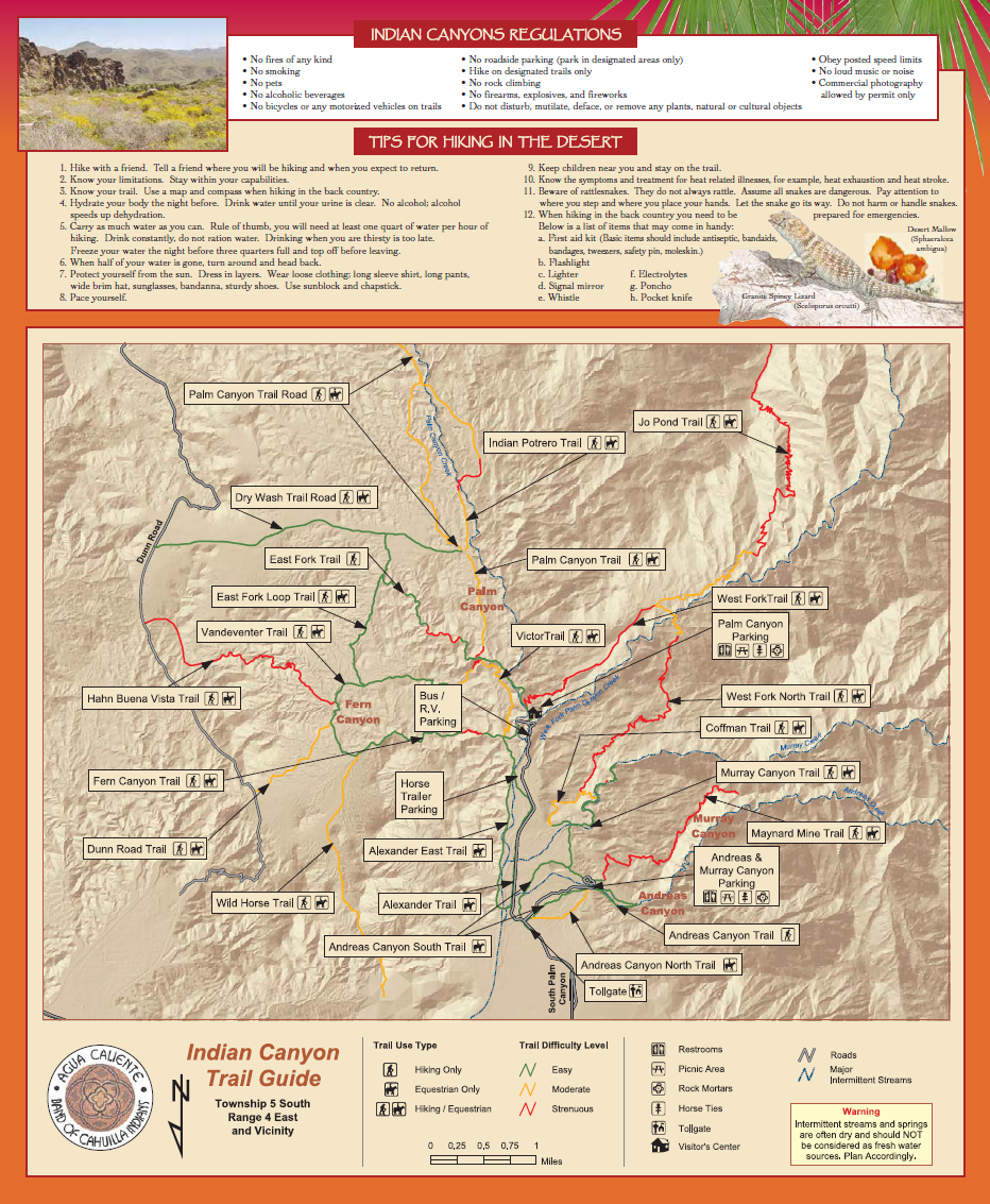
Indian Canyon Trail Guide Map
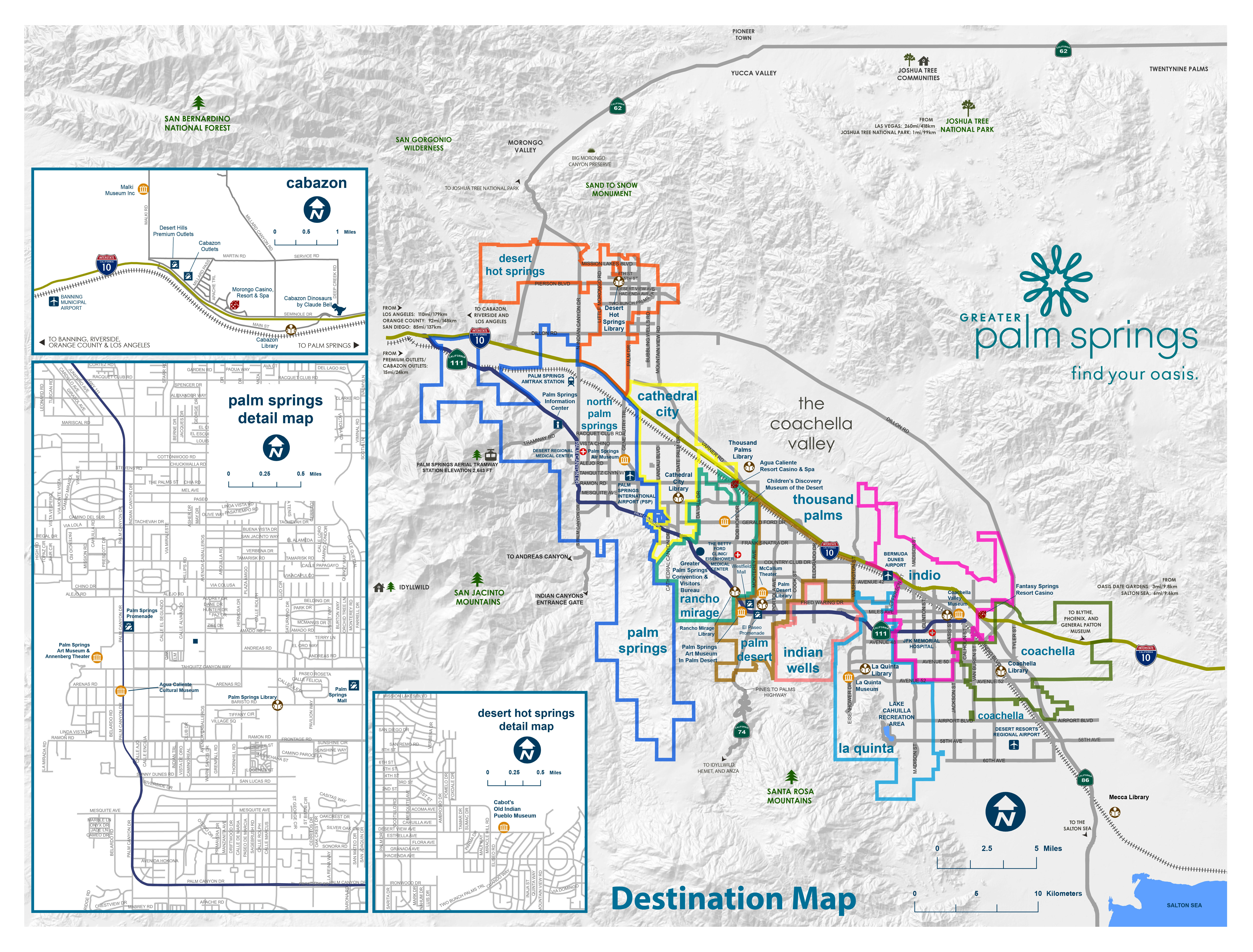
Greater Palm Springs Destination Map
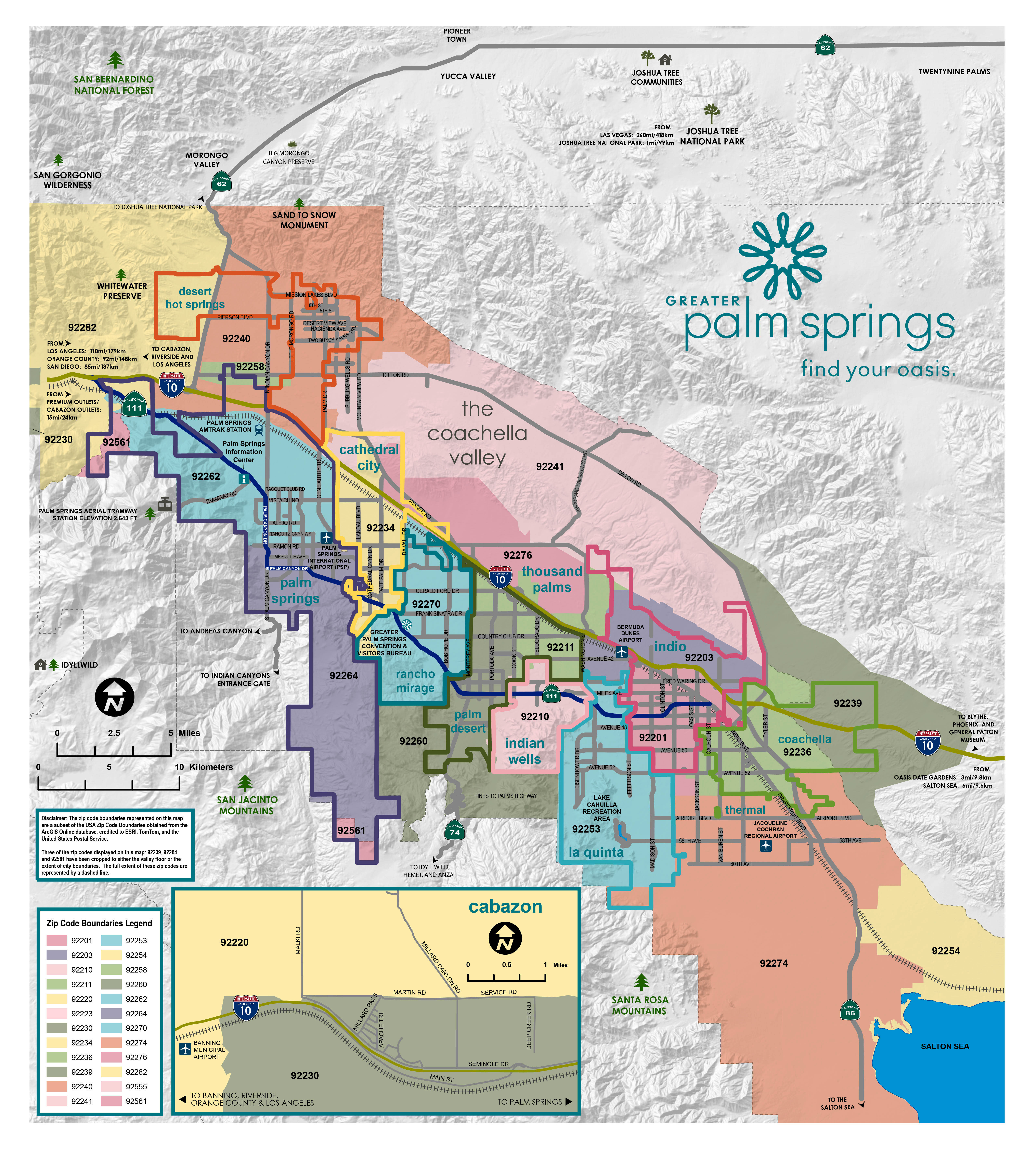
Greater Palm Springs Zip Codes
Utilities Data Forms
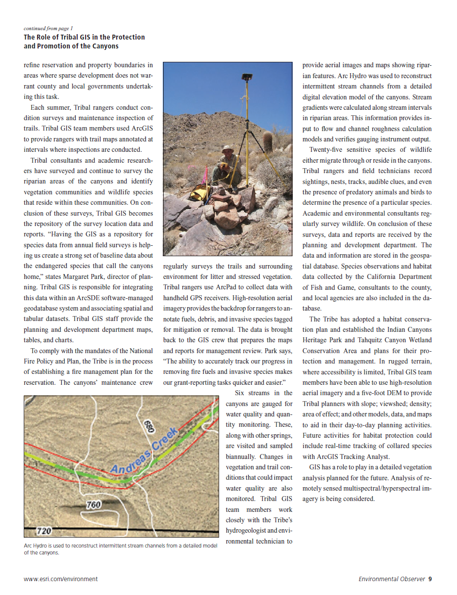
Environmental Observer Publication
